Click here
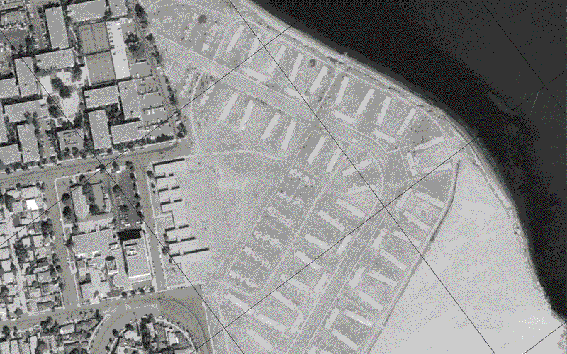
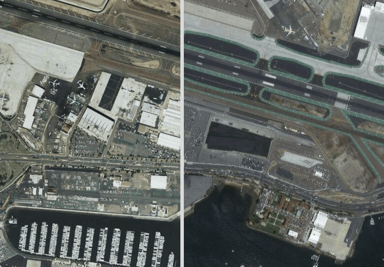
This is a sample of an ArcGIS story map showing how San Diego, California, has changed over the years by looking through orthorectified scanned aerial imagery.Click here to watch the Story Map.
Imprint & Privacy Policy